A Piece of the Lower Fanno Creek Puzzle
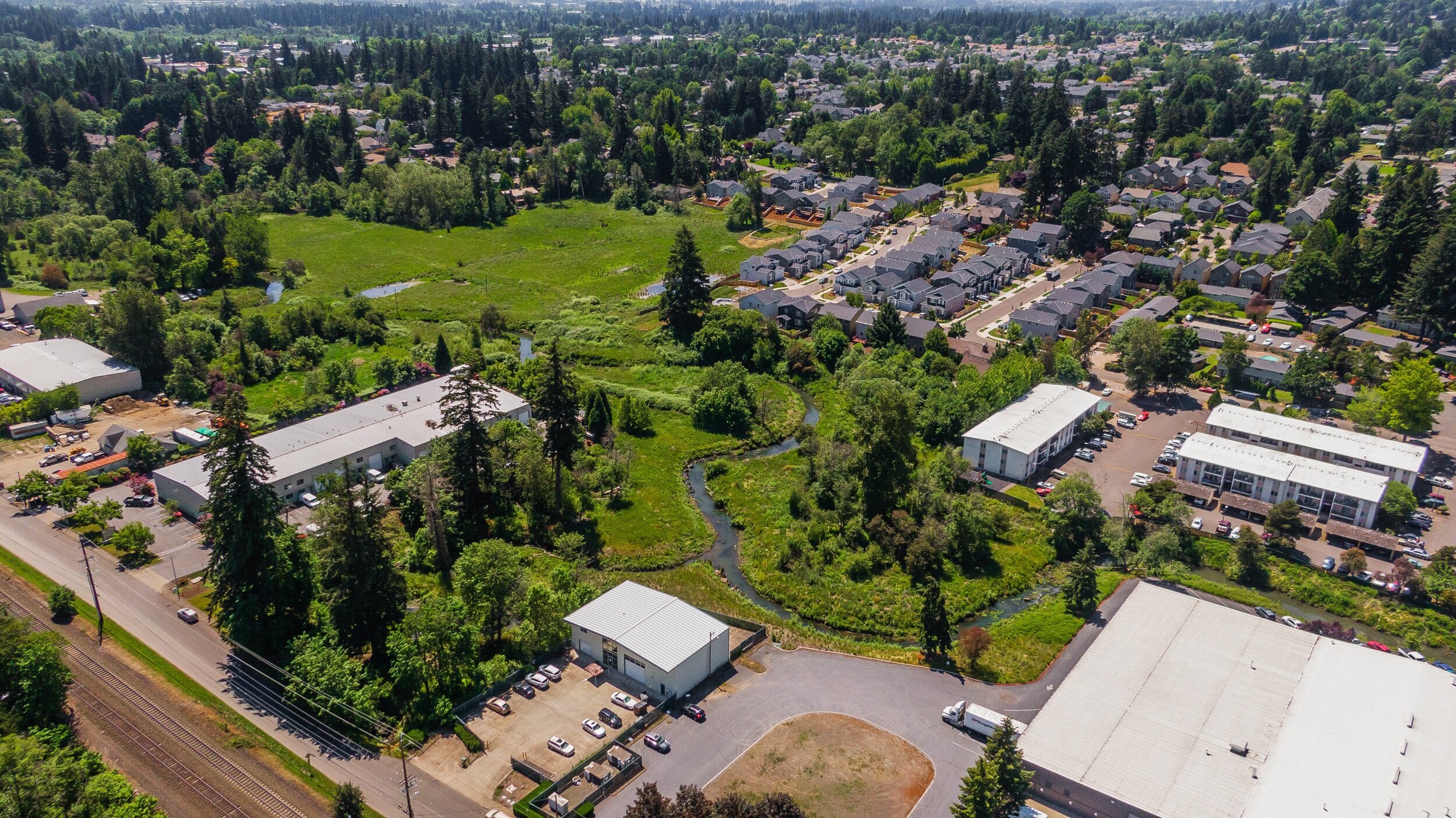
Tucked between an industrial complex, suburban homes and agricultural land is Bonita Natural Area, near Southwest 74th Avenue and Southwest Bonita Road in Tigard. The site also includes the final stretch of Ball Creek before it enters Fanno Creek. Metro purchased this property along lower Fanno Creek in 2003 with money from the 1995 voter-approved natural areas bond measure. Long-term, partners hope to complete the Fanno Creek Trail from the creek’s headwaters in the West Hills of Portland to its confluence with the Tualatin River in Durham.


The Site
First planting: 2018
Size: 5 acres
Stream length: 1,743 feet
Plant communities: Mixed Riparian Forest, Emergent Wetlands, Scrub Shrub Wetlands
The Challenge
Due to limited funding, this site was largely ignored for many years. Though some native plants and a mix of upland and wetland communities persisted, non-native plants and invasive weeds flourished. Bonita Natural Area is surrounded by an urbanized landscape with a relatively high percentage of impervious surfaces—roads, parking lots and commercial buildings—generating faster and higher water flows during storms. The site’s high levels of disturbance, lack of native vegetation on stream banks, and high storm flows in Ball and Fanno Creeks had resulted in low-quality fish and wildlife habitat, streambank erosion and water quality issues.
The Transformation
Together, Metro, Clean Water Services and the City of Tigard developed a vision for Bonita Natural Area that features healthy water, improved fish and wildlife habitat and, eventually, a connection to the Fanno Creek Trail system. To achieve this vision, the partners added a mix of diverse native plants, which help to filter water and increase soil stability along Fanno and Ball Creeks. Once they mature, the plants will also provide shade to cool the water and boost native habitat for wildlife. Over time, native species will come to dominate the site as invasive species control encourages native plant survival. In addition, to reduce erosion, improve water quality, increase floodwater storage during storm events and provide aquatic habitat, habitat logs were added in the channel and along the floodplain.
Key Partners